Church Rock (Heard)
| Church Rock | ||
|---|---|---|
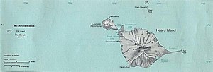
| Map of Heard Island (right) with Corinthian Bay, where Church Rock is located | ||
| Waters | Corinthian Bay , Indian Ocean | |
| Archipelago | Heard and McDonald Islands | |
| Geographical location | 53 ° 2 ′ S , 73 ° 26 ′ E | |
|
|
||
| Highest elevation | 16 m | |
| Residents | uninhabited | |
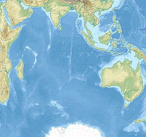
The Church Rock is a 16 m high, tower-like Rifffelsen in the southern Indian Ocean . It is located at the head of Corinthian Bay across from the mouth of Baudissin Glacier in the north of Heard Island .
The namesake of the rock is probably Captain Church of the schooner Mechanic , an escort boat of the sealer Corinthian under Captain Erasmus Darwin Rodgers (1817-1906), who had called the island of Heard in March 1855.
Web links
- Church Rock in the Geographic Names Information System of the United States Geological Survey (English)
- Church Rock on geographic.org (English)

