Cogo (Equatorial Guinea)
| Cogo | ||
|---|---|---|
|
|
||
| Coordinates | 1 ° 5 ' N , 9 ° 42' E | |
| Basic data | ||
| Country | Equatorial Guinea | |
| Continental region | ||
| province | Littoral | |
| ISO 3166-2 | GQ-LI | |
| height | 5 m | |
| Residents | 4607 (1994) | |
| Telephone code | (+240) 08 | |
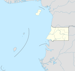
Cogo, formerly Puerto Iradier , is a town at the mouth of the Muni , Equatorial Guinea , about two kilometers east of Acalayong . It is known for its partially ruined Spanish colonial architecture. It is the southernmost city in the Litoral Province .
The city is surrounded to the east and southeast by the Congüe River and to the west and southwest by the Mitemle River. Both the Congüe and Mitemle rivers drain the Muni estuary. The city is at the tip of a peninsula between the rivers. The uninhabited island of Evele is close to the harbor . Most of the population is dependent on fishing. There is a large monument to Manuel Iradier , the peninsula's namesake, who was the first European settler in 1874.
sons and daughters of the town
- Rafael María Nze Abuy (1926–1991), Archbishop of Malabo
