Col de Vergio
| Col de Vergio | |||
|---|---|---|---|
|
Statue on the top of the pass of the Col de Vergio |
|||
| Compass direction | west | east | |
| Pass height | 1470 m | ||
| Department | Corse-du-Sud | Upper Corsica | |
| Valley locations | postage | Ponte Leccia | |
| expansion | Pass road | ||
| Mountains | Corsica | ||
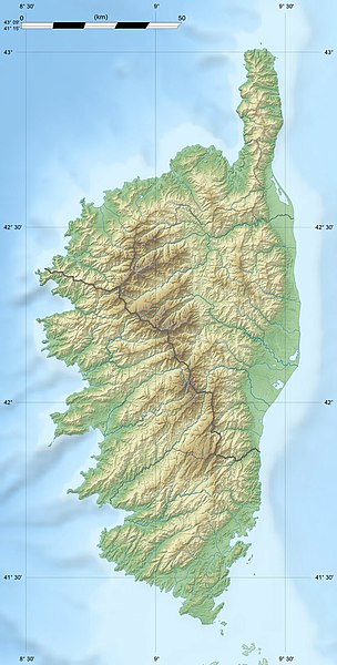
| map | |||
|
|
|||
| Coordinates | 42 ° 17 '24 " N , 8 ° 52' 43" E | ||
The Col de Vergio ( Corsican : bocca di Verghiu) is the highest pass road on the Mediterranean island of Corsica at around 1470 m . It connects the two Corsican départements Corse-du-Sud in the west and Haute-Corse in the east.
The scenic road connection leads over the pass from Porto to the interior of the island, where the Spelunca Gorge , the reservoir of Calacuccia and the Scala di Santa Regina are located. On both sides of the pass there are forest areas, on the west side from the village of Evisa to the pass of the Forêt d'Aitone and on the east side of the pass to Albertacce the Forêt de Valdu Niellu .
Web links
Commons : Col de Vergio - collection of images, videos and audio files

