Cummings Col
| Cummings Col | |||
|---|---|---|---|
| Compass direction | west | east | |
| Signy Island , South Orkney Islands | |||
| map | |||
|
|
|||
| Coordinates | 60 ° 43 ′ 16 ″ S , 45 ° 38 ′ 13 ″ W | ||
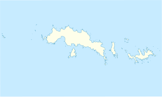
The Cummings Col is a mountain pass on Signy Island in the archipelago of the South Orkney Islands . It runs between Tioga Hill in the north and North Gneiss in the south.
The Falkland Islands Dependencies Survey carried out surveys in 1947 and 1950. Aerial photographs were taken in 1968 by the Royal Navy . The UK Antarctic Place-Names Committee named it in 2004 based on the name of Cummings Cove . It is named after Edmund Thomas Cummings (* 1925), radio operator of the Falkland Islands Dependencies Survey at Cape Geddes on Laurie Island in 1946 and on Deception Island the following year.
Web links
- Cummings Col in the Composite Gazetteer of Antarctica (English)
