Débo lake
| Débo lake | ||
|---|---|---|

|
||
| Mud houses on an island in Lake Débo | ||
| Geographical location | Mali | |
| Tributaries | Niger | |
| Drain | Niger | |
| Location close to the shore | Mopti , Niafounké | |
| Data | ||
| Coordinates | 15 ° 19 ′ 0 ″ N , 4 ° 6 ′ 0 ″ W | |
|
|
||
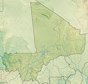
The Débo Lake is a lake of the central part Sahel -state Mali , through the regular, seasonal flooding of the basin of the river Niger is formed.
expansion
When Lake Débo has reached its greatest extent, it is located on its upstream bank about 80 km from the city of Mopti, known for its adobe buildings, and about 240 km downstream from the city of Timbuktu . The Débo is the largest of a series of lakes and wetlands that together form the Niger Inland Delta and is also the largest lake in Mali. It has its smallest size in the dry season from September to March.
use
During seasonal flooding of vast areas by the rivers Niger and Bani , the lake intensively by fishermen of Bozovolkes traveled and fished who live on its banks, in the dry season, however, the end here Fulani nomads with their herds their regular walks.
ecology
The lake is an important resting place for migratory birds and UNESCO has classified it as a RAMSAR zone that is particularly worthy of protection .

