Dansketinden
| Dansketinden | ||
|---|---|---|
| height | 2842 m | |
| location | Scoresbyland , Greenland | |
| Mountains | Stauningalpen | |
| Dominance | 163.96 km → Petermann Bjerg | |
| Notch height | 2192 m | |
| Coordinates | 72 ° 7 '30 " N , 24 ° 57' 18" W | |
|
|
||
| rock | granite | |
| First ascent | August 5, 1954 by John Haller, Wolfgang Diehl and Fritz Schwarzenbach | |
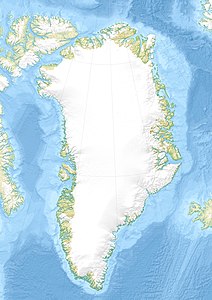
Dansketinden is the highest peak in the Stauning Alps in Scoresbyland in Northeast Greenland National Park . The 2,842-meter mountain is surrounded by the glaciers Vikingebræ, Gully Glacier and Bersærkerbræ.
The Dansketinden was first climbed on August 5, 1954 by the Swiss John Haller (1927–1984), Wolfgang Diehl (1908–1990) and Fritz Schwarzenbach.
Web links
- Map of the Stauning Alps on a scale of 1: 150,000, De Nationale Geologiske Undersøgelser for Danmark og Grønland (GEUS). (PDF; 3.3 MB)
Individual evidence
- ↑ Stauning Alper on Peakbagger.com (English)
- ↑ Colwyn Jones: Greenland Expedition 1996 (PDF; 2.7 MB), Expedition Report, The Scottish Mountaineering Club, p. 48 (English)
- ↑ a b Dansketinden . In: Anthony K. Higgins: Exploration history and place names of northern East Greenland. (= Geological Survey of Denmark and Greenland Bulletin 21, 2010). Copenhagen 2010, ISBN 978-87-7871-292-9 (English), accessed December 28, 2013
