Fänerenspitz
| Fänerenspitz | ||
|---|---|---|
|
Fänerenspitz from the northeast (Altstätten station), Kamor on the left , Hirschberg on the right |
||
| height | 1506 m above sea level M. | |
| location | Canton of Appenzell Innerrhoden , Switzerland | |
| Dominance | 2 km → Kamor | |
| Notch height | 220 m ↓ Forstegg | |
| Coordinates | 754.41 thousand / 242390 | |
|
|
||
|
Fänerenspitz on the left, on the right edge of the picture high box and to the left of it Kamor . Taken from the Hundwiler Höhe , in the shade in the valley s'Dorf, as the Appenzell people call their capital, and on the plain in the foreground Gontenbad golf course. |
||
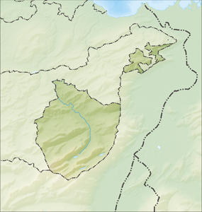
The Fänerenspitz (also known as Fähnern ) is the northernmost Swiss pre-Alpine summit , rising over 1500 meters. It is located in the municipality of Rüte between Eggerstand and Brülisau in the canton of Appenzell Innerrhoden .
The Fänerenspitz is referred to locally as d'Fänere (the Fäneren).
The Fänerenspitz can be easily reached on foot and is ideal for snowshoe tours and in high winter even for a ski tour when the snow conditions in the mountains are too dangerous.
Web links
- Fänerenspitz with snowshoes on hikr.org
- Fänerenspitz on foot on hikr.org
- Fänerenspitz on skitouren.ch
- Interactive spherical panorama from Fänerenspitz
- Google Sphere Panorama on the Fähneren
Individual evidence
- ^ Dorf Eggerestand AI , accessed on December 23, 2012.


