High Hirschberg
| High Hirschberg | ||
|---|---|---|
|
The Hohe Hirschberg (right) seen from Altstätten; |
||
| height | 1168 m above sea level M. | |
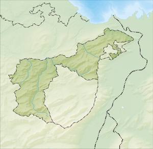
| location | Canton of Appenzell Ausserrhoden , Canton of Appenzell Innerrhoden , Switzerland | |
| Dominance | 0.85 km → Golterberg | |
| Notch height | 21 m ↓ Nisplismoos | |
| Coordinates | 753 466 / 245 513 | |
|
|
||
The Hohe Hirschberg (in the local Appenzell dialect Höch Hirschberg ) is the second highest mountain peak of the Hirschberg ridge, the highest point of which is 1174 m above sea level. M. is located. It is located in the border area of the cantons of Appenzell Ausserrhoden and Appenzell Innerrhoden in the Swiss Pre-Alps . The neighboring communities (official name is district) are Gais in the canton of Appenzell Ausserrhoden and Appenzell and Rüte in Innerrhodischen. To the north of the Hohen Hirschberg is the Stoss pass crossing , which connects Gais in the Appenzellerland with the St. Gallen Rhine Valley and over which a road and a partially rack-and-pinion line run by the Appenzeller Bahnen .
The Hohe Hirschberg can be easily reached on foot from Gais, the meeting point or Eggerestand. From the assembly point a narrow road leads in the direction of Hoher Hirschberg, which can be driven almost to the mountain restaurant at 1168 m .

