Fleming Head
| Fleming Head | ||
|---|---|---|
| location | Victoria Land , East Antarctica | |
| part of | Transantarctic Mountains | |
|
|
||
| Coordinates | 75 ° 10 ′ S , 162 ° 38 ′ E | |
|
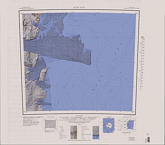
Topographic map of the Drygalski Ice Tongue with the Fleming Head (top left) |
||
The Fleming Head is a cliff on the Scott coast of the East Antarctic Victoria Land . It marks the southern flank of the mouth of the Larsen Glacier in the Ross Sea .
The United States Geological Survey mapped it based on its own surveys and aerial photographs of the United States Navy from 1957 to 1962. The Advisory Committee on Antarctic Names named it in 1968 after John P. Fleming (1928-2008), senior civil electrician in the US Navy and member of the winter team at McMurdo Station in 1962 and 1966.
Web links
- Fleming Head in the Geographic Names Information System of the United States Geological Survey (English)
- Fleming Head on geographic.org (English)

