Fort Providence
| Fort Providence | ||
|---|---|---|
| Location in Canada | ||
|
|
||
| State : |
|
|
| Territory : | Northwest Territories | |
| Region: | Dehcho region | |
| Coordinates : | 61 ° 21 ′ N , 117 ° 39 ′ W | |
| Residents : | 727 (as of 2006) | |
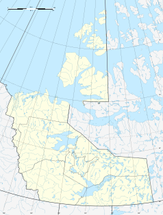
Fort Providence ( Slavey : Zhahti Koe "Mission House") is a 160 meter high altitude hamlet in the region Dehcho in the Northwest Territories in Canada . Located west of the Great Slave Lake , the place can be reached by road in any weather: Through the Yellowknife Highway. The over the Mackenzie leading -flow Deh Cho Bridge, which abzulöst the ice bridge in the winter and the ferry in the summer and thus enables a year-round fast crossing, was found 2012th
Fort Providence is known for hosting the annual Mackenzie Daze festival . This takes place in August.
According to the 2006 Canadian census, the population is 727 and the population density is 2.8. The majority belong to the Dene people .
The Dene of Fort Providence are represented by the Deh Gah Gotie Dene Council and the Métis by Fort Providence Métis Local 57 . Both groups belong to the Dehcho First Nations.
The place has an airfield. It is 3.5 miles east of the hamlet and is called Fort Providence Water Aerodrome.

Individual evidence
- ↑ 2006 Canadian Census Community Profile Fort Providence
- ^ Deh Gah Gotie Dene Council ( Memento of March 2, 2008 in the Internet Archive )
- ↑ Fort Providence Metis ( Memento of March 2, 2008 in the Internet Archive )
- ^ Dehcho First Nations ( Memento of February 3, 2007 in the Internet Archive )
