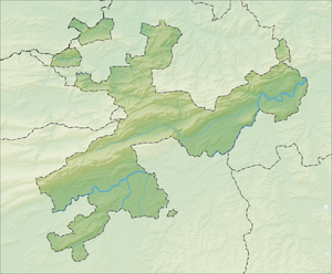
Geissflue (Aedermannsdorf)
| Geissflue | ||
|---|---|---|
| height | 1102 m above sea level M. | |
| location | Canton of Solothurn , Switzerland | |
| Mountains | law | |
| Dominance | 0.38 km → Tannmatt | |
| Notch height | 60 m ↓ unnamed saddle | |
| Coordinates | 610655 / 240 255 | |
|
|
||
The Geissflue is a mountain in the Swiss Jura , 9 km west of Balsthal in the canton of Solothurn . It is located in the municipality of Aedermannsdorf .
The Geissflue is a forested northeast-southwest oriented ridge with a steep rocky slope to the southeast. It is located in the second Jura chain north of the Dünnern valley , between the Hornegg and the Brunnersberg .
