Gulf of Penas
| Gulf of Penas Golfo de Penas |
||
|---|---|---|
|
left: southern part of the gulf with Isla Javier |
||
| Waters | Pacific Ocean | |
| Land mass | Patagonia ( South America ) | |
| Geographical location | 47 ° 15 ′ S , 75 ° 0 ′ W | |
|
|
||
| width | approx. 100 km | |
| depth | approx. 100 km | |
| Islands | Isla Javier | |
| Tributaries | Canal Baker ( Río Baker ) | |
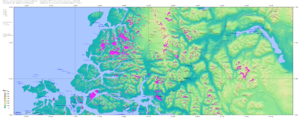
The Gulf of Penas ( Spanish Golfo de Penas , literally: "Golf of Pain"; German also Penasgolf ) is a body of water and is located south of the Taitao peninsula in Chile .
While open to the Pacific Ocean storms west , it allows access to some natural harbors. These include the Golfo Tres Montes and Golfo San Esteban , the Bahía Tarn and the Messier Canal .
The Caucahue people lived there.
swell
- 11th edition of the Encyclopædia Britannica
Individual evidence
- ^ Hans Steffen : West Patagonia. Santiago de Chile 1919, p. 13.

