Guallatiri
| Guallatiri | ||
|---|---|---|
|
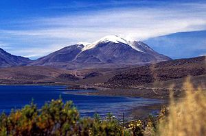
Guallatiri, in front of Lago Chungará (November 2007) |
||
| height | 6071 m | |
| location | Northern Chile | |
| Mountains | central Andes | |
| Dominance | 25 km → Parinacota | |
| Coordinates | 18 ° 25 ′ 0 ″ S , 69 ° 5 ′ 30 ″ W | |
|
|
||
| Type | Stratovolcano | |
| Last eruption | 1960 | |
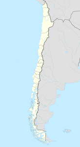
The Guallatiri (also Guallatire ) is one of the most active volcanoes in the Andes and is located in northern Chile , just a little away from the Bolivian border, 155 kilometers east of Arica in the Lauca National Park . The stratovolcano reaches a height of about 6071 meters above sea level and is the third highest active volcano in the world after the Ojos del Salado with 6883 meters and the Llullaillaco with 6739 meters. The last outbreak was in 1960.
The summit can be climbed relatively easily over a steep, partly snow-covered slope and a subsequent firn ridge (crampons required) (permission must be obtained from the police). It is possible to be driven up to approx. 5200 meters in an off-road vehicle (2000 that cost 120 dollars), which reduces the ascent to a day tour. But this can only be recommended to well acclimatized mountaineers!
See also
Web links
- Guallatiri in the Global Volcanism Program of the Smithsonian Institution (English)

