Hamun lake
| Hamun lake | ||
|---|---|---|
| Geographical location | Sistan and Balochistan , | |
| Tributaries | Helpful , seasonal : Halil and Bampur | |
| Drain | without drain ( end lake ) | |
| Data | ||
| Coordinates | 30 ° 50 ′ 0 ″ N , 61 ° 10 ′ 0 ″ E | |
|
|
||
| Altitude above sea level | 500 m | |
| surface | 1,600 km² (max) | |
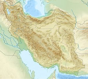
As Hamun Lake ( Persian دریاچه هامون Daryātscheh-ye Hāmūn , English Lake Hāmūn ) is a seasonal lake landscape in the province of Sistan and Balochistan in Iran . Coming from the Afghan Hindu Kush, the Hilmend drainshere into a wide, shallow basin. The lake is also fed by local snowmelt and rainy periods. It is an end lake , so it has no drainage into the sea ( endorheic basin ). In its greatest extent it covered about 4000 km² in a rainy season. Due to increased water consumption in agriculture and the lack of rain in the years 1999 to 2001, the lake landscape has dried up completely at times.
The basalt mountain Kuh-e Khwaja rises up to around 600 meters in the center of the lake level . The ruins of the Dahan-e-ye Gholaman Castle ( Slave Gate ) of Zabol are located near the lake.
In 2016, Lake Hamun was declared a Biosphere Reserve by UNESCO .
See also
Web links
- Finds at Lake Hamun
- John Weier: From Wetland to Wasteland; Destruction of the Hamoun Oasis . NASA Earth Observatory, December 3, 2002
Individual evidence
- ^ Tehran Times April 3, 2016. Retrieved April 9, 2020 .

