Harquahala Mountains
| Harquahala Mountains | ||
|---|---|---|
|
Mountains from the north after a wet spring |
||
| Highest peak | Harquahala Peak ( 1732 m ) | |
| location | Arizona , United States | |
|
|
||
| Coordinates | 33 ° 49 ′ N , 113 ° 19 ′ W | |
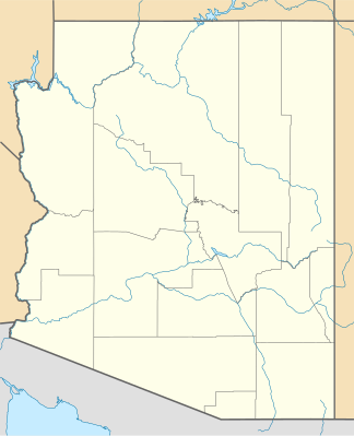
The Harquahala Mountains (Yavapai: ʼHakhe: la ) are the highest mountain range in southwest Arizona in the United States . They are located southwest of the towns of Aguila and Wenden . The name comes from ʼHakhe: la from the Yavapai language and roughly means “flowing water”. The area extends from northeast to southwest and is approximately 32 km long and at its widest point 20 km wide.
description
To the northeast are two prominent peaks, Eagle Eye Mountain and Eagle Eye Peak . This has a natural opening, which gives the appearance of a big eye on the summit. This is eponymous for the summit and for the place Aguila (Spanish for eagle). The highest point, Harquahala Peak , rises to 1732 m (5,681 ft). At the southwest end of the range is Socorro Peak at 1134 m (3270 ft).
The windy summit can be reached via a four-wheel drive road. It was used as a heliograph station by the US Army in the 1880s . In 1920, a Smithsonian Astrophysical Observatory was established on this summit and operated for five years before relocating to the Table Mountain Observatory near Wrightwood , California .
The approximately 93 km² Harquahala Mountain Wilderness , established in 1990, is located to the north and east of the summit on the border between Maricopa and La Paz County .
There are gypsum mines at the southwest end of the range and there have been extensive gold and silver mines in the past.
literature
- Arizona Atlas and Gazetteer. DeLorme Mapping, Freeport, Maine. ISBN 0-89933-202-1
Web links
- Harquahala Mountains in the United States Geological Survey's Geographic Names Information System
- Harquahala Mountains on Peakbagger.com (English)
Individual evidence
- ^ DW Grantham: The Story of Harqua Hala . In: Desert Magazine , 1984, pp. 4-11. Retrieved March 29, 2015.

