Herrnsheim bathing lake
| Herrnsheim bathing lake | ||
|---|---|---|

|
||
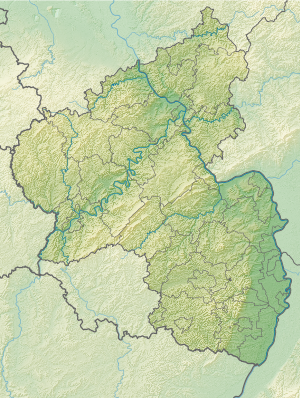
| Geographical location | Worms , Rhineland-Palatinate , Germany | |
| Tributaries | Groundwater | |
| Data | ||
| Coordinates | 49 ° 39 '37 " N , 8 ° 20' 38" E | |
|
|
||
| Altitude above sea level | 89 m above sea level NHN | |
| surface | 3.2 ha | |
| Maximum depth | 4.0 m | |
The Herrnsheimer Badesee (also Badesee Worms-Herrnsheim ) is a bathing lake in the Herrnsheim district of Worms .
The groundwater- fed lake to the east of the district has an area of 3.2 ha and a maximum depth of 4.0 m. There are sunbathing lawns and smaller sports areas around the lake. The changing rooms, sanitary facilities and a kiosk are located in two buildings. The total area of the fenced-in pool in the “Hinter dem Nauland” area is around 5.5 hectares.
The bathing lake was created in 1956 from a gravel pit. It is owned by the city of Worms and is today run by the Heimatkreis Herrnsheim e. V. operated.
The parking lot of the bathing lake also serves as the main entrance to the Herrnsheimer Klauern forest area .
Web links
- Homepage of the Heimatkreis Herrnsheim e. V.
- Current measured values on the website of the Rhineland-Palatinate Ministry of the Environment
Individual evidence
- ↑ a b Rhineland-Palatinate Water Management Authority: Herrnsheimer Badesee , accessed on January 31, 2012
