Hjálparfoss
| Hjálparfoss | ||
|---|---|---|
|
The Hjálparfoss |
||
| Coordinates | 64 ° 6 '58.3 " N , 19 ° 51' 4.7" W | |
|
|
||
| place | Southurland , Iceland | |
| height | 9 m | |
| width | 27 m | |
| flow | Fossá í Þjórsárdal | |
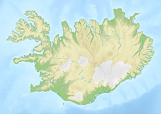
Hjálparfoss is a waterfall in the south of Iceland .
The river Fossá í Þjórsárdal falls here between basalt columns split into two arms about 9 m deep.
location
The waterfall is located in the Þjórsárdalur just before the confluence of the Fossá and the Þjórsá . The Hekla volcano towers over the area and there are other waterfalls nearby with the Háífoss and the Gjáin gorge .
Surname
The name translates from Icelandic as "Help waterfall". This is derived from the name of the Hjálp area. This in turn is due to the fact that in earlier times people finally found water and fodder for the horses here after crossing the dangerous, desert-like inland stretch of Sprengisandur .
Volcanism
The Búrfellshraun lava field fills the valley. It flowed out of the craters of Veiðivötn around 3,500 years ago . At the waterfall, the Fossá river eroded part of this lava field, exposing the interior of pseudocraters , as well as fan-shaped lava columns that were created by the very rapid cooling of the lavas under the influence of water.
See also
Individual evidence
- ^ Hjálparfoss, Iceland. Retrieved October 28, 2017 .
- ↑ cf. Íslandshandbókin. 2. bindi. 1989, p. 798.
- ↑ Thor Thordarsson, Armann Hoskuldsson: Iceland. Classic Geology of Europe, 3. Harpenden 2002, p. 85.

