Háifoss
| Háifoss | ||
|---|---|---|
|
The Háifoss |
||
| Coordinates | 64 ° 12 '28.8 " N , 19 ° 41' 15.72" W | |
|
|
||
| place | Southurland , Iceland | |
| height | 122 m | |
| width | 12 m | |
| flow | Fossá í Þjórsárdal → Þjórsá | |
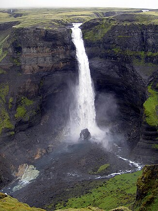
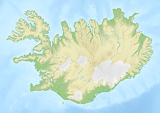
The Háifoss waterfall is located near the Hekla in Iceland . The river Fossá í Þjórsárdal , a tributary of the Þjórsá , falls here over a steep step of 122 m into the depth. It is the third highest waterfall in Iceland after Morsárfoss and Glymur .
You can hike from the historic Stöng farm through the Fossá valley to the waterfall in five or six hours (there and back). The path is only partly recognizable, partly you have to walk down in the river bed.
There is also a parking lot above the waterfall, so you can do the tour in the opposite direction.
See also
Web links
Commons : Háifoss - collection of images, videos and audio files
- Photo: Haifoss

