Howth Head

Howth Head ( Irish Ceann Bhinn Éadair ) is a peninsula in the north of Dublin in the Republic of Ireland , near the cities of Sutton and Portmarnock . Howth is the largest town on the peninsula .
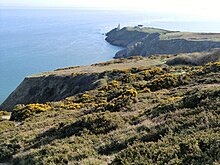
Originally an island, Howth Head is now connected to the mainland by a narrow strip of land. Howth Head forms the northern end of the wide-span sickle of Dublin Bay , which ends in the south with Killiney Head .
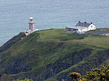
At the southeast end of Howth Head is the Baily Lighthouse .
As one of the northern terminus of the Dublin Area Rapid Transit System (DART), Howth is a popular tourist destination, especially for day-trippers from Dublin. For hikers there is an old pile of stones at Howth's highest point, from which in good weather you can see the Wicklow Mountains with Dublin city center in the foreground.
Howth was originally a fishing village, but the economic boom of the 1990s and the gradual death of the fishing industry in the area changed the appearance of Howth over the past two decades. The Tomb Aideen’s Grave portal is located on the peninsula (also a book by William Butler Yeats ). The megalithic complex is also known as Finn mac Cools Quoit .


