Hulun Buir Desert
| Hulun Buir Desert
Hulunbeier Shadi (呼伦贝尔 沙地)
Hulunbeier Caoyuan (呼伦贝尔 草原) |
||
|---|---|---|
|
The Hulun Buir in August, during the rainy season. |
||
| location |
Inner Mongolia |
|
|
|
||
| Coordinates | 48 ° 30 ′ N , 118 ° 30 ′ E | |
| rock | sand | |
| surface | 29,200 km² | |
|
Horses in the Hulun Buir |
||
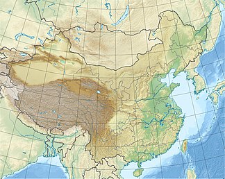
The Hulun Buir Desert is a steppe in north-east China at the border triangle with Mongolia and Russia . While large parts of it consist of grassland , there are sand dunes , especially in the northern and southern areas . Over 50% of the area has vegetation. The annual mean of the precipitation amounts are between 250 and 350 mm, which are mainly caused by the monsoons from July to September. The annual mean temperatures vary between −2 and 0 ° C. During the dry spring, winds of more than 17 m / s are common. There are sandstorms for around two days per year , fewer than in all other deserts in China. The land was not cultivated until the end of the 17th century when immigrants from central China arrived there. Since then, soil cultivation and overgrazing have destroyed the natural vegetation cover in many places, which has led to the mobilization of dunes.
Individual evidence
- ↑ Tian, Haijing, et al. "Response of vegetation activity dynamic to climatic change and ecological restoration programs in Inner Mongolia from 2000 to 2012." Ecological Engineering 82 (2015): 276-289. ( PDF )
- ^ Li, Sheng-Hua, and Jimin Sun. "Optical dating of Holocene dune sands from the Hulun Buir Desert, northeastern China." The Holocene 16.3 (2006): 457-462. ( PDF )


