
Inamba-jima
| Inamba-jima | ||
|---|---|---|
 |
||
| Waters | Pacific Ocean | |
| Archipelago | Izu Islands | |
| Geographical location | 33 ° 39 '3 " N , 139 ° 17' 56" E | |
|
||
| surface | 0.5 ha | |
| Highest elevation | 74 m | |
| Residents | uninhabited | |

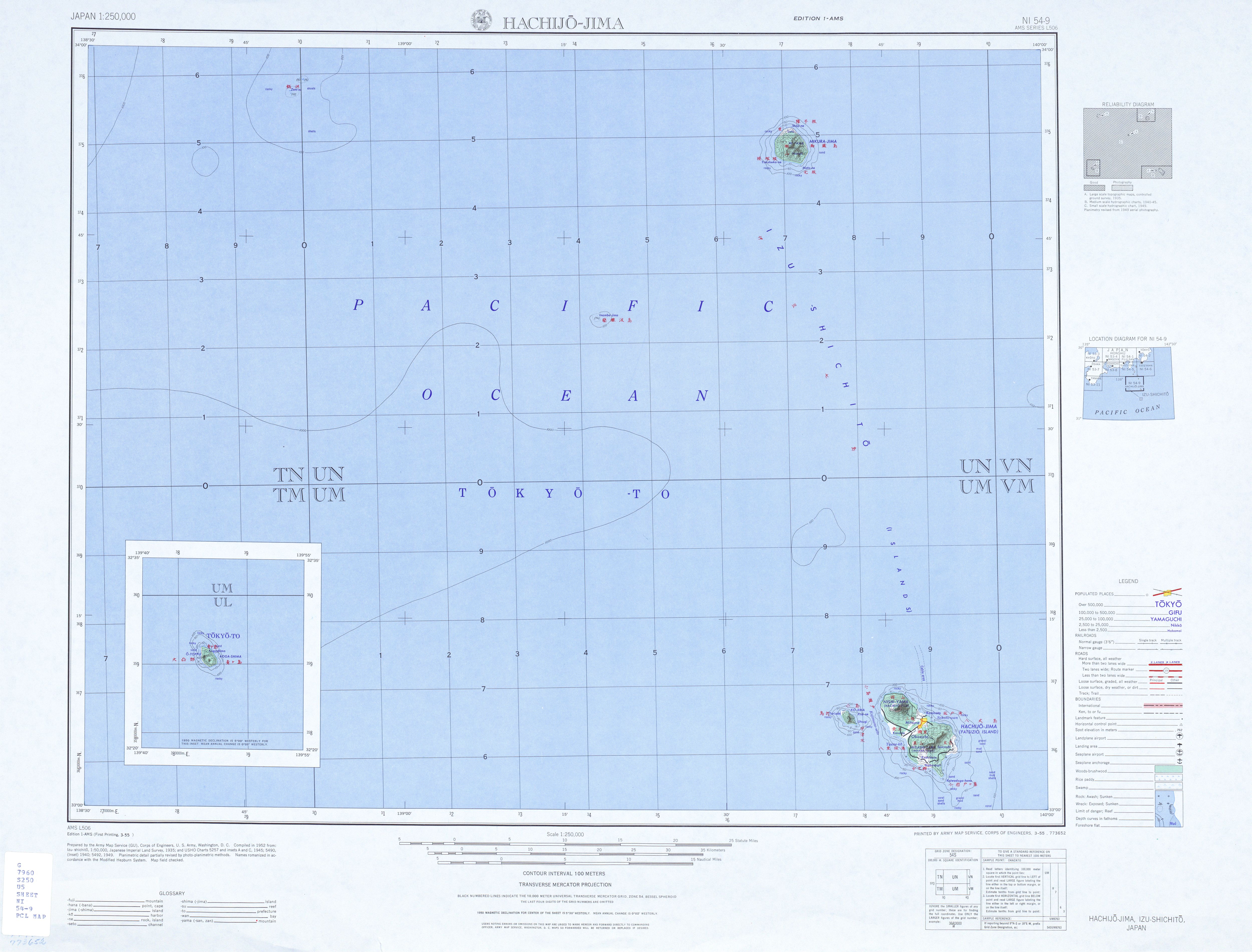
Inamba-jima ( Japanese 藺 灘 波 島 ) is a small, uninhabited rocky island of volcanic origin in the Pacific Ocean . It lies between Mikura-jima and Hachijō-jima of the Japanese Izu Islands .
administration
Like the entire chain of Izu Islands, Inamba-jima belongs administratively to Tokyo Prefecture . The island itself belongs in turn to the Miyake sub-prefecture , which is administered from Miyake-jima , and at the lowest level to the Mikurajima municipality , which is administered from the island of Mikura-jima (35 km northeast of Inamba-jima).
geography
Inamba-jima is located 220 km south of Tokyo and 35 km southwest of the neighboring island of Mikura-jima. The nearest island further south in the island chain is Hachijō-jima, which is 70 km southeast. The island, which consists mainly of andesite , has an area of about 5000 m² (0.005 km²) and reaches a height of 74 m above sea level.
Web links
- Inamba-jima in the Japanese Volcanoes Quaternary database (English and Japanese)
- Photo of the island ( memento from December 19, 2012 in the web archive archive.today )
- Card with Inamba-jima