Queen Juliana Bridge
Coordinates: 12 ° 6 ′ 40 ″ N , 68 ° 55 ′ 55 ″ W.
| Queen Juliana Bridge Koningin Julianabrug |
||
|---|---|---|
| Queen Juliana Bridge, in the foreground: Queen Emma Bridge (2013) | ||
| Official name | Queen Julianabrug | |
| use | Road bridge | |
| Convicted | Sint Annabaai | |
| place | Willemstad | |
| overall length | 500 m | |
| height | 56.4 m | |
| opening | 1974 | |
| toll | No | |
| location | ||
|
|
||
|
Weight: 3400 t |
||
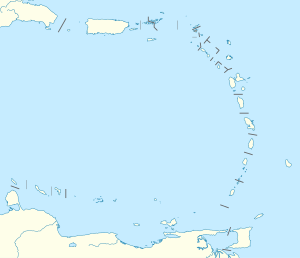
The Queen Juliana Bridge (Dutch Koningin Julianabrug ) is a road bridge in the Sint Annabaai Bay in the city of Willemstad on Curaçao , Kingdom of the Netherlands . It connects the districts of Punda and Otrabanda .
The bridge was commissioned on April 30, 1974. The previous building collapsed in 1967, killing 15 workers.
It was named after Juliana , Queen of the Kingdom of the Netherlands.
See also
Web links
Commons : Queen Juliana Bridge - Collection of Pictures, Videos and Audio Files
Individual evidence
- ↑ The Curacao Difference: BRIDGES ( Memento from July 31, 2014 in the Internet Archive )

