Kammon Bridge
Coordinates: 33 ° 57 ′ 43 " N , 130 ° 57 ′ 30" E
| Kammon Bridge | ||
|---|---|---|
| Kammonkyo Bridge as seen from the Moji side | ||
| Official name | 関門 橋 | |
| Convicted | Kammon Highway | |
| Subjugated | Kammon Street | |
| place | Shimonoseki , Kitakyushu | |
| construction | Suspension bridge | |
| overall length | 1068 m | |
| width | 26 m | |
| Longest span | 712 m | |
| Clear height | 61 m | |
| opening | November 14, 1973 | |
| construction time | 5 years | |
| location | ||
|
|
||
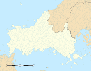
The Kammon Bridge ( Japanese 関門 橋 , Kammon-kyō ) is a suspension bridge over the Hayatomo Strait of the Kammon Strait between Shimonoseki on Honshū and Kitakyūshū on Kyūshū .
Six lanes of the Kammon Highway ( 関門 自動 車道 , Kammon Jidōshadō ) run over the bridge from the Shimonoseki junction, which connects it with the Chūgoku highway , to the Moji junction , which connects it with the Kyūshū highway . The Kammon Highway is part of the AH1 trunk road of the Asian Trunk Road Project .
The bridge was opened to traffic on November 14, 1973 and connected to the Kyushu Highway on March 27, 1984. The 1068 m long bridge has a span of 712 m and is one of the forty longest suspension bridges in the world. The clear passage height is 61 m.
The 141 m high pylons carry the 26 m wide girder on suspension cables made of prefabricated parallel wire ropes .
Web links
Individual evidence
- ↑ Kammonkyo Bridge. In: Structurae
- ^ Cable Supported Bridges: Concept and Design . 3. Edition. John Wiley & Sons, 2011, ISBN 978-1-119-95187-2 , pp. 88–89 (English, online [PDF; 4.7 MB ]). online ( Memento of the original from October 26, 2012 in the Internet Archive ) Info: The archive link was automatically inserted and not yet checked. Please check the original and archive link according to the instructions and then remove this notice.

