
Cape Cestos
Coordinates: 5 ° 26 ′ 1 ″ N , 9 ° 35 ′ 35 ″ W.

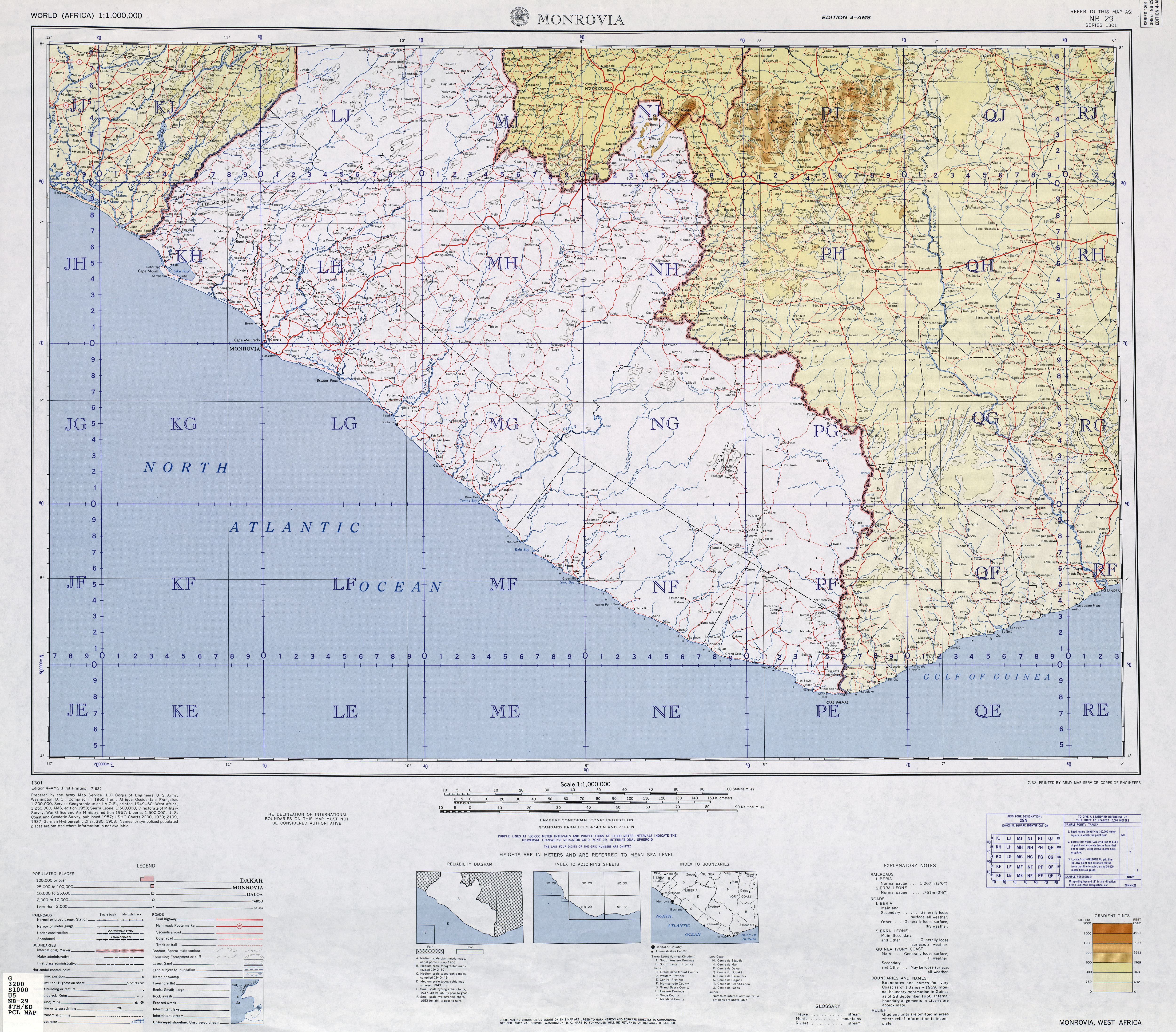
The Cape Cestos has been a landmark on the West African coast on the Atlantic Ocean , it is located in River Cess County , on the coast of Liberia . The cape consists of a flat, wooded peninsula at the mouth of the Cestos River, which protrudes barely 3 kilometers into the ocean .
history
The first European to reach Cape Brazier was the Portuguese explorer Diogo Gomes in 1458 . He toured the west coast of Africa on behalf of Henry the Navigator . The city of Cestos City , also called River Cess , was founded on the Cape . It is the capital of River Cess County .
Web links
- University of Texas Military Topographic Maps Collection - TK250 Sheet NB29-4 MONROVIA.