
Karaula Pass
| Karaula Pass | |||
|---|---|---|---|
 View from the pass in east direction into the Lašva valley |
|||
| Compass direction | west | east | |
| Pass height | 1179 m | ||
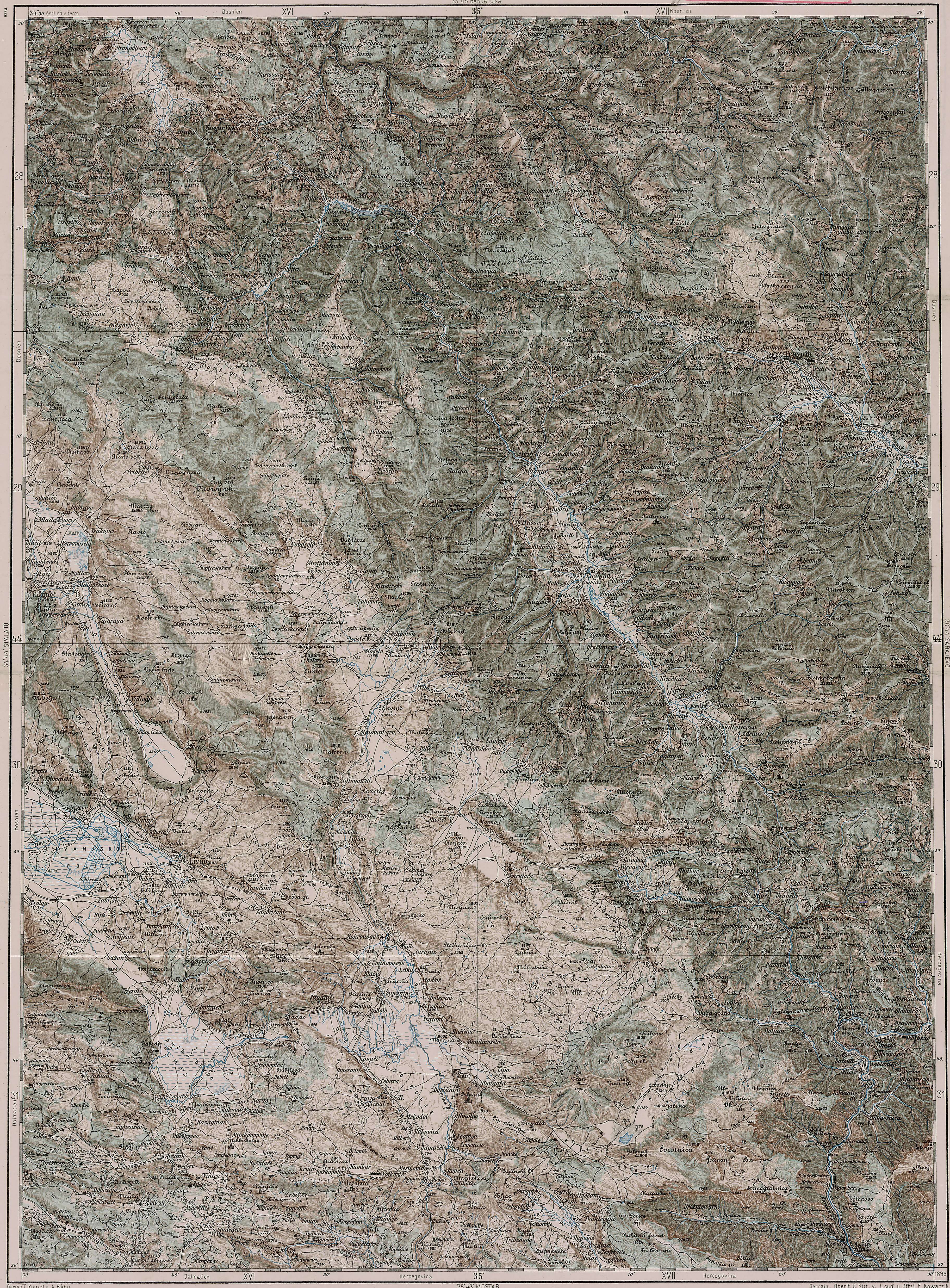
| region | Bosnia and Herzegovina | ||
| Valley locations | Jajce | Travnik | |
| expansion | Pass road | ||
| Map (Bosnia and Herzegovina) | |||
|
|||
| Coordinates | 44 ° 16 '10 " N , 17 ° 27' 10" E | ||

The Karaulapass is a 1179 m high road pass between the cities of Jajce and Travnik in Bosnia and Herzegovina . The undeveloped gravel road over the pass represents the direct connection between these places. Due to the poor road conditions, however, the road traffic mainly uses the main roads 16 and 5 via Donji Vakuf . The watershed between the catchment areas of the Vrbas and Bosna rivers runs across the pass .
Origin of name
The word karaula stands for "watchtower" or "border tower" in the Serbo-Croatian language area.
history
An Austrian military map from 1910 shows military installations on the pass. During the Bosnian War 1992–95, the front line between the armies of the Serbs and Bosniaks mostly ran in the immediate vicinity of the contested Karaula Pass. Witnesses from the ICTY said that Arab mujahideen were stationed at the pass at the time to assist Bosniak troops in the defense of Travnik and the advance towards Jajce.
Course of the pass road
The pass road begins a little south of Jajce at a junction near the mouth of the Rijeka (“river”) in the Vrbas . The first kilometers are paved; however, after leaving the suburbs of Jajce, the road soon becomes a gravel road that runs for about 20 km in the Rijeka valley, which has been almost uninhabited since the Bosnian war . Then it leaves the valley and winds its way up its southern slope in serpentines . It reaches gradients of 16% in sections.
The only still inhabited village on the west side of the pass, which is also called Karaula, is about 1000 m above sea level, 5 km from the saddle. From here the gravel path runs through dense mixed forest; There are warnings on both sides of the road that landmines have been laid . Another path branches off to the right, which leads via Oborci to Donji Vakuf .
Behind the saddle, the forest changes into open vegetation and used pastures. From Hamandžići, the first place in the Travnik municipality , the road is again paved throughout. It now leads down to the valley of the Lašva , which is partly as steep as the one on the west side , which is continuously inhabited again despite the great destruction in the Bosnian war. Shortly before Turbe , the Koričani pass road joins from the north .