Karo La
| Karola Pass | |||
|---|---|---|---|
|
|
|||
| Compass direction | east | west | |
| Pass height | 5036 m | ||
| region | Tibet Autonomous Region | ||
| Watershed | Kalurong | Ngongtan | |
| Valley locations | Langla | Ralung | |
| expansion | Tibet Provincial Road S307 | ||
| Mountains | Lhagoi Kangri massif | ||
| map | |||
|
|
|||
| Coordinates | 28 ° 53 '54 " N , 90 ° 9' 50" E | ||
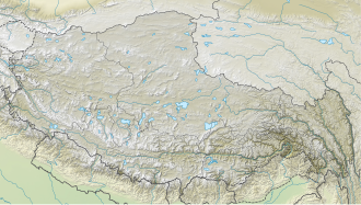
The Karo La is a high pass in the Lhagoi-Kangri range of the northern Himalayas on the border of the Nagarzê and Gyangzê counties in the Tibet Autonomous Region .
The western ascent follows the Ngungtan, to the east the ascent runs from the Yamdrok Yumtso, the valley of the Kalurong. The Karo glacier of the Noijinkangsang is located directly north of the pass summit , also referred to in some sources as Karu La or Karuo La, and to the south of the pass rises the only weakly glaciated Jitan Zhoma (6,004 m).
The provincial road 307 leading over the pass , which is known as the Southern Friendship Highway, is particularly popular with tourists, for whom some teahouses and toilets have been built on the plateau. In addition to the prayer flags , a chorten erected north of the road and various mani stones speak for the religious significance .

