Brayton Point power station
| Brayton Point power station | |||
|---|---|---|---|
| location | |||
|
|
|||
| Coordinates | 41 ° 42 '38 " N , 71 ° 11' 38" W | ||
| country | United States | ||
| Waters | Atlantic | ||
| Data | |||
| Type | 4 × coal power plant | ||
| Primary energy | Fossil energy | ||
| fuel | coal | ||
| power | 1528 MW electric | ||
| owner | Dynegy | ||
| Start of operations | 1963 | ||
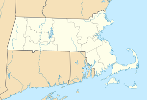
The Brayton Point coal-fired power station is located near Brayton Point ( Bristol County ) at the mouth of the Taunton River in the Atlantic Ocean in Massachusetts on the border with Rhode Island .
Brayton Point was opened in 1963 and consists of four blocks with 243 MW , 240 MW, 612 MW and 435 MW installed capacity .
The power plant was originally owned by PG&E . As of 2005, it was owned by Dominion Resources . The private equity company Energy Capital Partners acquired the power plant in 2013 and sold it to Dynegy in April 2015 .
Individual evidence
- ↑ a b c Dynegy: Power Generation Facilities ( Memento of the original from December 3, 2013 in the Internet Archive ) Info: The archive link was automatically inserted and not yet checked. Please check the original and archive link according to the instructions and then remove this notice.
- ↑ Entry at SourceWatch
- ^ Energy Capital Partners: Investments

