Komovi
| Komovi | ||
|---|---|---|
|
View from the north |
||
| Highest peak | Kom Kučki ( 2487 m above sea level ) | |
| location | Montenegro | |
| South-east Dinarides | Dinarides | |
| Classification according to | Cvijic | |
|
|
||
| Coordinates | 42 ° 41 ′ N , 19 ° 39 ′ E | |
| Type | Fold Mountains | |
| rock | Dolomite, throwing formation | |
| Age of the rock | Chalk , trias | |
| surface | 150 km² | |
| particularities | Glaziokarst | |
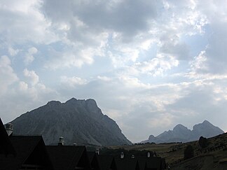
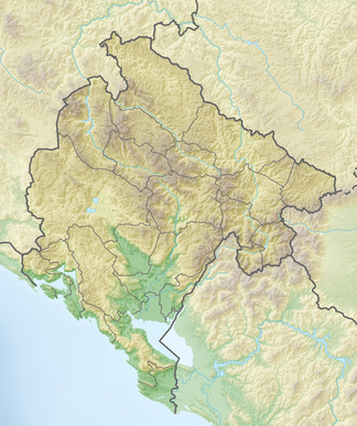
The Komovi -Gebirge is 2487 m one of the highest mountain ranges of the Dinarides . Located in the east of Montenegro , it is the center of the most important hydrological node of the Dinaric Mountains. This is where the Tara and Lim , the most important tributaries of the Drina, arise . As a massif, the Komovi belongs to the Prokletije group and shares with it the alpine forms and the relief with a pronounced high mountain character. The Kučka planina connects to the south of the Komovi and the Bjelasica to the north ; to the east are Visitor , Karanfil and Prokletija .
The mountains are built from Werfen slate , with a dolomitic stick from the Triassic in the highest parts . The dolomitic rocks are responsible for the obvious debris heaps on the mountain flanks of the Komovi.
The main peaks of Komovi are:
- Kučki Kom (2487 m);
- Ljevorćki Kom (2453 m);
- Vasojevićki Kom (2460 m).
Between the two main peaks Kučki and Vasojevićki Kom is the Međukomlje trough valley, which is characterized by the most extensive scree slopes of the Balkan Peninsula.

