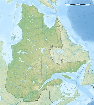
Lac Allemand
| Lac Allemand | ||
|---|---|---|
| Geographical location | Nunavik , North du Québec in Québec (Canada) | |
| Tributaries | Rivière de Puvirnituq | |
| Drain | Rivière de Puvirnituq | |
| Data | ||
| Coordinates | 61 ° 5 ′ N , 75 ° 47 ′ W | |
|
|
||
| Altitude above sea level | 196 m | |
| surface | 103 km² | |
The Lac Allemand is a lake in the north of the Ungava Peninsula in the Canadian province of Quebec .
Lac Allemand is located 10 km west of Lac Péloquin and 70 km west of Lac Nantais . The lake is located in the area of the Canadian Shield at an altitude of 196 m . The Rivière de Puvirnituq flows through it in a southerly direction.
The lake was named after the cartographer Pierre Allemand (1662? –1691).
