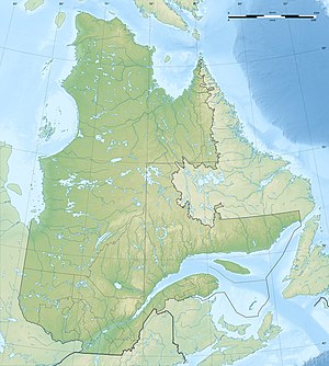
Lac Mégiscane
| Lac Mégiscane | ||
|---|---|---|
| Geographical location | Abitibi-Témiscamingue in Québec (Canada) | |
| Tributaries | Rivière Mégiscane | |
| Drain | Rivière Mégiscane | |
| Location close to the shore | Senneterre | |
| Data | ||
| Coordinates | 48 ° 35 ′ N , 75 ° 52 ′ W | |
|
|
||
| Altitude above sea level | 388 m | |
| surface | 41 km² | |
| length | 26 km | |
The Lac Mégiscane is a lake in the administrative region Abitibi-Témiscamingue the Canadian province of Quebec .
Lac Mégiscane is located in the regional county municipality of La Vallée-de-l'Or in the area of the municipality of Senneterre . It is located in the area of the Canadian Shield at a height of 388 m . It has a longitudinal extension in the northeast-southwest direction of 26 km and an area of 41 km². The water is divided into two roughly equal parts of the lake by a narrowing. The Lac Mégiscane has many side bays. The Rivière Mégiscane river flows through the lake in an east-west direction. Upstream is the neighboring lake Lac Canusio . Lac Mégiscane is part of the catchment area of the Rivière Nottaway , which flows to James Bay .
The name Mégiscane comes from the Algonquin language and means: "place where there are fish".
