Lac Manouane
| Lac Manouane | ||
|---|---|---|
| Geographical location | Saguenay – Lac-Saint-Jean in Québec (Canada) | |
| Tributaries | Rivière des Montagnes Blanches | |
| Drain | Rivière Manouane → Rivière Péribonka | |
| Data | ||
| Coordinates | 50 ° 42 ′ N , 70 ° 45 ′ W | |
|
|
||
| Altitude above sea level | 494 m | |
| surface | 448 km² | |
| scope | 420 km | |
|
particularities |
flow regulated |
|
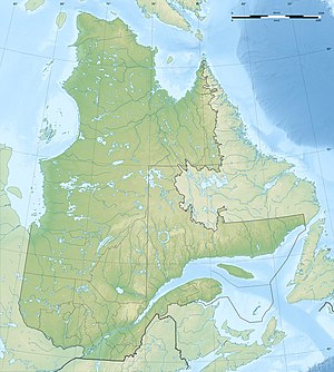
Lac Manouane is a lake in the Saguenay – Lac-Saint-Jean administrative region of the Canadian province of Québec .
It has an area of 448 km², a total area including islands of 584 km². Other sources give a lake area of 461 km². The lake has a multitude of islands and peninsulas. It is located about 250 km north of Chicoutimi in the center of the Labrador Peninsula . Its main tributary is the Rivière des Montagnes Blanches . The outflow of the lake forms the Rivière Manouane , a main tributary of the Rivière Péribonka .
The lake area increased after the construction of several dams in the years 1940-1941 by 25 percent. The river regulation is used by the hydropower plants on the Rivière Péribonka.
Individual evidence
- ↑ a b Natural Resources Canada - The Atlas of Canada - Lakes ( Memento from January 14, 2013 in the Internet Archive )
- ↑ a b Commission de toponymie du Québec - Lac Manouane
