Lac de la Hutte Sauvage
| Lac de la Hutte Sauvage | ||
|---|---|---|

|
||
| Geographical location | Nunavik , North du Québec in Québec (Canada) | |
| Tributaries | Rivière George , Rivière Déat | |
| Drain | Rivière George | |
| Data | ||
| Coordinates | 56 ° 10 ′ N , 64 ° 44 ′ W | |
|
|
||
| Altitude above sea level | 264 m | |
| surface | 70 km² | |
| length | 35 km | |
| width | 3 km | |
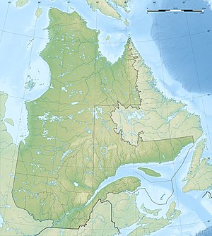
The Lac de la Hutte Sauvage is a lake in the northeast of the Canadian province of Quebec .
The Lac de la Hutte Sauvage forms a 35 km long and 3 km wide river broadening of the Rivière George , which flows through it in a northerly direction. The lake is located in the east of the Labrador Peninsula , about 35 km west of the provincial border with Newfoundland and Labrador . The lake covers an area of 70 km². The Lac de la Hutte Sauvage is divided into a southern and a northern part of the lake by a narrowing. The Rivière Déat , in whose catchment area Lac Mistinibi lies, flows into its eastern bank.
The Lac de la Hutte Sauvage used to be called Indian House Lake .
Web links
Commons : Lac de la Hutte Sauvage - Collection of images, videos and audio files
