Lac des Allemands
| Lac des Allemands | ||
|---|---|---|
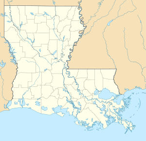
| Geographical location | Mississippi Delta , Louisiana , USA | |
| Tributaries | various | |
| Drain | Bayou des Allemands → Lake Salvador | |
| Location close to the shore | New Orleans | |
| Data | ||
| Coordinates | 29 ° 55 '25 " N , 90 ° 34' 40" W | |
|
|
||
| surface | 49 km² | |
| Maximum depth | 3.3 m | |
The Lac des Allemands is a lake in the Mississippi Delta in the southeast of the US state Louisiana . It is located about 42 kilometers west of New Orleans in St. John the Baptist Parish . The water area is 49 square kilometers. The lake is shallow, it reaches a maximum depth of 3.3 meters. It is connected to Lake Salvador via the Bayou des Allemands .
Like the neighboring village of Des Allemands , it got its name from the German settlers who settled in this area in the 18th century.
Today the lake is located in the middle of an oil production area. Despite the industrial use, it is species-rich and has a large population of catfish .
