Lake Borgne
| Lake Borgne | ||
|---|---|---|

|
||
| Lake Borgne | ||
| Geographical location | Southeast Louisiana (USA) | |
| Tributaries | Mississippi River , Rigolets from Lake Pontchartrain | |
| Drain | Gulf of Mexico | |
| Location close to the shore | New Orleans | |
| Data | ||
| Coordinates | 30 ° 2 ′ N , 89 ° 37 ′ W | |
|
|
||
| surface | 730 km² | |
| Middle deep | 3 m | |
|
particularities |
lagoon |
|
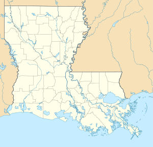
The Lake Borgne is a 730 sq km lagoon in southeastern Louisiana in the United States . The mean depth is 3 m , the tributary is the Mississippi River ; Outflow is the Gulf of Mexico . One of the closer cities is New Orleans . The lagoon takes its name from the French borgne , which means one-eyed man .
geography
The lake is 730 km² with an average depth of 3 m in southeast Louisiana on the border with Mississippi . New Orleans is the largest city in the area. The lake is connected to the Gulf of Mexico .
history
In the 18th century , Lake Borgne was a lake that evolved into a lagoon over time as the wet forests that separated Lake Borgne from the Gulf of Mexico disappeared. The reasons for the disappearance of the wet forest were in the last century the strongly increasing influence of human activity in the estuary process of the lakes and the clearing of the wet forests. Since 1932, 22% of the wetlands that once covered the Pontchartrain Basin have been converted to water.

