Lake George (Florida)
| Lake George | ||
|---|---|---|

|
||
| Estuary of the St. Johns River to the south of Lake George | ||
| Geographical location | 27 miles west of Daytona Beach | |
| Tributaries | St. Johns River | |
| Drain | St. Johns River | |
| Islands | Drayton Island, Hog Island | |
| Places on the shore | Georgetown (Florida) | |
| Location close to the shore | Astor | |
| Data | ||
| Coordinates | 29 ° 17 ′ N , 81 ° 36 ′ W | |
|
|
||
| surface | 186.16 km² | |
| length | 24.8 km | |
| width | 11 km | |
| volume | 470,000 m³ | |
| scope | 67.5 km | |
| Middle deep | 2.5 m | |
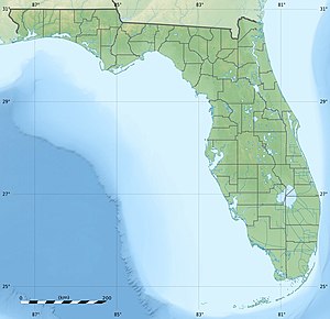
The Lake George in the State of Florida is a broad and shallow lake on the St. Johns River , north of Astor . Most of the lake is in Volusia County . A small part to the north, with the islands of Drayton Island and Hog Island, belongs to Putnam County . Its west bank borders Marion County . Here is the Ocala National Forest .
It is 24.8 km long and 11.0 km wide, with an average depth of 2.5 meters. Its area is 186.16 km². The largest island is Drayton Island in the northern part of the lake. To the west is Hog Island. The lake drains over the St. Johns River to the north. The main water flow is east of the two islands.
The lake is the third largest lake in Florida after Lake Okeechobee and Lake Apopka . Since Lake George has an unusually high proportion of salt due to its underground salt deposits, you can also find saltwater fauna and flora here.
But the tributaries of the St. Johns River (south), Juniper Creek, Silver Glen Spring Run and especially Salt Springs Creek also contribute to the salinity of the lake, which decreases towards the north.
