Lake Itasca
| Lake Itasca | ||
|---|---|---|

|
||
| Geographical location | Itasca State Park , Minnesota , USA | |
| Tributaries | Nicolett Creek | |
| Drain | Mississippi River | |
| Data | ||
| Coordinates | 47 ° 13 '5 " N , 95 ° 12' 26" W | |
|
|
||
| Altitude above sea level | 447 m | |
| surface | 4.7 km² | |
| length | 5.4 km | |
| width | 630 m | |
| Middle deep | 6 - 11 m | |
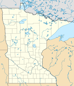
The Lake Itasca is a Glacial Lake in northwestern Minnesota , USA . It has a size of around 4.7 square kilometers and is the source lake of the Mississippi . Lake Itasca is located in southwest Clearwater County in Itasca State Park .
After the Cass Lake was originally determined as the source of the Mississippi, Lake Itasca was discovered as the source of the river by Henry Rowe Schoolcraft in 1832 . From there it flows 3,770 kilometers through the United States and flows into the Gulf of Mexico . The pseudo-Indian name Itasca is made up of the Latin ver itas (truth) and ca put (main) and, in Schoolcraft's opinion, should sound similar to the language of the Anishinabe .
The average depth of the lake, which is around 450 meters above sea level, is six to eleven meters. It is fed by Nicolett Creek and a small tributary of the nearby Elk Lake.

