Maanselkä
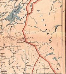
The Maanselkä ( Finnish for "ridge") is a 750 km long and 75 km wide ridge in north-eastern Finland . It extends along the Finnish border with Russia ( Murmansk Oblast in the north, Republic of Karelia in the south). The ridge is about 300 meters high, with peaks around 400 meters, and flattens out to the south to 200 meters, but has individual peaks over 600 meters high ( Sorsatunturi in the north 628 m, Sokuski 714 m). Further surveys are the fells Nuorunen (576 m), Mäntytunturi (550 m) and Korvatunturi (486 m).
The Maanselkä forms the watershed between the White Sea (a marginal sea of the Arctic Ocean ) and the Baltic Sea . For some stretches the Finnish-Russian border follows this watershed exactly. At the same time, it is an important natural boundary between the boreal coniferous forest zone in still cold-temperate Finland in the west and the arctic tundra in the north of Russian Karelia . On Maanselkä, these differences are already noticeable on the western and eastern slopes of the same mountain.
In Kuhmo , the southernmost part of Maanselkä crosses the border to the east.
The Urho Kekkonen National Park is located in the area of the mountain range .
Web links
- Article Maanselkä in the Great Soviet Encyclopedia (BSE) , 3rd edition 1969–1978 (Russian)
Coordinates: 67 ° 24 ' N , 29 ° 38' E
