Mabesi lake
| Mabesi lake | ||
|---|---|---|
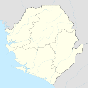
| Geographical location | in the south of Sierra Leone | |
| Data | ||
| Coordinates | 7 ° 10 '28 " N , 11 ° 42' 51" W | |
|
|
||
| surface | 20.7-36 km² | |
| length | approx. 7 km | |
| width | approx. 5 km | |
| Middle deep | 1 m | |
|
particularities |
second largest lake in Sierra Leone |
|
The Mabesi-See ( English Lake Mabesi ) is a lake or lagoon in the Southern Province in the West African Sierra Leone . With an area of 20.57 square kilometers, it is the second largest lake in the country . At times of high tide it increases to around 36 km². The lake is a maximum of seven kilometers long and five kilometers wide.
As in the neighboring Lake Mape , it is brackish water . The lake has been proposed as a national park , together with Mape Lake, which is located almost six kilometers to the south-west and is the largest lake in the country . It should have an area of 75 square kilometers.
See also
Web links
Individual evidence
- ^ The Statistical Digest 2007-2013 Edition. Statistics Sierra Leone, October 2014, p. 1. ( Memento of the original dated February 2, 2017 in the Internet Archive ) Info: The archive link was inserted automatically and has not yet been checked. Please check the original and archive link according to the instructions and then remove this notice.
- ↑ Biological observations on freshwater systems adjacent to the coast of Sierra Leone. Belgium 1990, Kluwer Publishers, p. 72.
- ↑ Country Reviews - Sierra Leone. FAO. Retrieved December 7, 2018.
- ↑ Official Record for Lake Mape / Mabesi in Sierra Leone. Protected Planet. Retrieved December 6, 2018.
