McGregor Range
| McGregor Range | ||
|---|---|---|
| location | Victoria Land , East Antarctica | |
| part of | Admiralty Mountains | |
|
|
||
| Coordinates | 71 ° 58 ′ S , 167 ° 51 ′ E | |
|
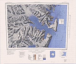
Map of the Concord Mountains and Admiralty Mountains , McGregor Range in the far southeast |
||
|
Map of the Admiralty Mountains and Victory Mountains , McGregor Range west of center of the northern edge of the map |
||
The McGregor Range is a 21 km long mountain range in the southern center of the Admiralty Mountains in East Antarctica Victoria Land . It is surrounded by the Tucker Glacier , Leander Glacier , Fitch Glacier and Man-o-War Glacier .
Parts of the range were mapped by participants in the New Zealand Geological Survey Antarctic Expedition (1957-1958). This work was completed by the United States Geological Survey through surveys and aerial photographs taken by the United States Navy between 1960 and 1963. The Advisory Committee on Antarctic Names named them in 1964 after Commander Ronald Kenneth McGregor (1917-2011), head of the US Navy support units at McMurdo Station in the winter of 1962.
Web links
- McGregor Range in the Geographic Names Information System of the United States Geological Survey (English)
- McGregor Range on geographic.org (English)


