Menhir from Kelkheim
| Menhir from Kelkheim Hohestein | ||
|---|---|---|
|
|
||
| Coordinates | 50 ° 8 '37.2 " N , 8 ° 26' 14.7" E | |
| place | Ebsdorfergrund , OT Rauischholzhausen , Hesse , Germany | |
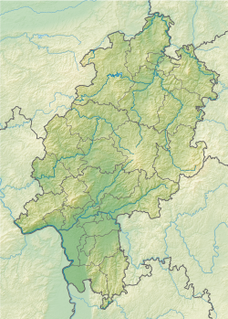
The Kelkheim menhir (also called Hohestein ) is a prehistoric menhir near Kelkheim in the Main-Taunus district in Hesse .
location
The stone was first mentioned in 1714. It initially stood between Kelkheim and Fischbach on the Hühnerberg, near the Am Hohenstein parcel . It was later implemented during surveying work and is now not far from its previous location in an orchard next to a shed.
description
The menhir consists of greenish quartzite . It is plate-shaped, very narrow and ends round at the top. The stone has a total height of 141 cm, a width of 31 cm and a thickness of 25 cm. At the lower end it has a foot-like thickening that is completely buried in the ground. At its location on the Hühnerberg it protruded 80 cm from the ground; there is no information about the current above-ground height.
In 1975 a late Neolithic arrowhead as well as modern brick and ceramic fragments were found in his first known standing pit.
literature
- Johannes Groht : Menhirs in Germany. State Office for Monument Preservation and Archeology Saxony-Anhalt, Halle (Saale) 2013, ISBN 978-3-943904-18-5 , pp. 139, 151
- Michael Sturm: The Chicken Hill. A prehistoric site near Kelkheim. In: Kelkheim im Taunus. Contributions to the history of its neighborhoods. Kelkheim 1980, pp. 13-19
- Michael Sturm, Rolf Kubon: Chronicle of finds for the years 1975–1980. In: Find reports from Hessen. Volume 21, 1981, p. 77
- Detert Zylmann: The riddle of the menhirs. Mainz-Kostheim 2003, pp. 92, 105
Web links
- The Megalithic Portal: Hohenstein Kelkheim (English; accessed on August 11, 2017)

