Menhir of Pirmasens
| Menhir of Pirmasens The Long Stone , Pirmanstein , Sant Pirmansstein , Marstein | ||
|---|---|---|
|
Menhir of Pirmasens |
||
|
|
||
| Coordinates | 49 ° 10 '49.2 " N , 7 ° 38' 0.9" E | |
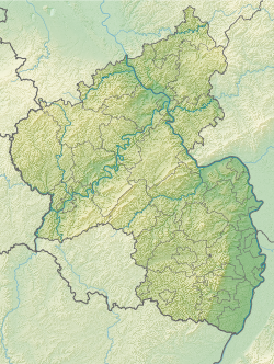
| place | Ruhbank , Rhineland-Palatinate , Germany | |
The menhir of Pirmasens (also known as Der Lange Stein , Pirmanstein , Sant Pirmansstein or Marstein ) is a menhir in Pirmasens in Rhineland-Palatinate .
location
The menhir is located southeast of the core city of Pirmasens in the direction of Lemberg today . It is located near the Alte Landstrasse on an elevated point on the Eichköpfchen. Its original location was not far from there, but it was long considered lost. In 1956 it was installed as a water barrier on a forest path and was only erected again in 1959, but by mistake with the point down. Its exact age is unclear, as no prehistoric finds are known from the surrounding area. According to Otto Gödel, it could have been used in the term cult in Roman times . In the Middle Ages and the early modern period it served as a boundary stone .
description
The menhir is made of red sandstone . It has a height of 184 cm, a width of 40 cm and a depth of 40 cm. It has been worked on and given the shape of a pillar with a square cross-section. The flat top is slightly rounded at the corners. It appears to have been broken in two places and reassembled with cement .
literature
- Otto Gödel: Menhirs, witnesses of cult, border and legal customs in the Palatinate, Rheinhessen and the Saar area. Speyer 1987, pp. 137ff.
- Johannes Groht : Menhirs in Germany. State Office for Monument Preservation and Archeology Saxony-Anhalt, Halle (Saale) 2013, ISBN 978-3-943904-18-5 , p. 316, 342.
Web links
Individual evidence
- ^ Johannes Groht: Menhirs in Germany. P. 342.

