Mill Pond Lake (Iron River)
| Mill Pond Lake | ||
|---|---|---|
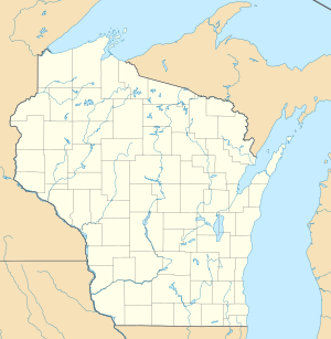
| Geographical location | Bayfield County in Wisconsin (USA) | |
| Tributaries | Iron River | |
| Drain | Iron River → Lake Superior | |
| Location close to the shore | Iron River | |
| Data | ||
| Coordinates | 46 ° 33 '45 " N , 91 ° 25' 51" W | |
|
|
||
| Altitude above sea level | 325 m | |
| surface | 32 ha | |
| Maximum depth | 5.1 m | |
| Middle deep | 1.8 m | |
The Mill Pond Lake is a lake west of Iron River in Bayfield County in northern US state of Wisconsin . US Highway 2 runs north of the lake . The lake is fed by the Iron River .
The area of the lake is 31.96 hectares, the average depth 1.8 meters, the maximum depth 5.1 meters. The ground floor consists of 70 percent sand, the rest is peat earth .
The Mill Pond Lake has a dock for small boats. The following types of fish are resident in the lake: pike , largemouth bass and glass-eyed perch as well as various smaller food fish (" panfish ").
