Mont Otemanu
| Mont Otemanu | ||
|---|---|---|
|
Mont Otemanu seen from Mont Pahia, 500 meters west-northwest and 66 meters lower . |
||
| height | 727 m | |
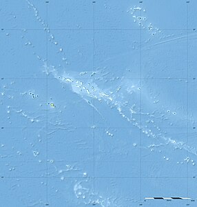
| location | Bora Bora , French Polynesia | |
| Coordinates | 16 ° 30 ′ 16 ″ S , 151 ° 43 ′ 48 ″ W | |
|
|
||
| rock | basalt | |
The Mont Otemanu is the highest point of the Bora Bora atoll in the archipelago of the Society Islands in French Polynesia . It represents the weathered central chimney and summit of the former central volcano and reaches a height of 727 m above sea level. Due to the high humidity of the oncoming winds, the upper area of the mountain is often covered in clouds.
At the summit, the boundaries of the three communes associées ( sub-communities ) of Bora Bora converge .
Web links
Commons : Mont Otemanu - collection of images, videos and audio files
- Mont Otemanu on Peakbagger.com (English)


