Monte Novo do Castelinho
| Monte Novo do Castelinho | |||
|---|---|---|---|
|
|||
|
|
|||
| Coordinates | 37 ° 32 '26 " N , 8 ° 8' 37" W | ||
| Data on the structure | |||
| Construction time: | 2nd century AD | ||
| Height of the barrier structure : | 1 m | ||
| Crown length: | ~ 56 m | ||
| Base width: | 11 m | ||
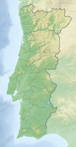
Monte Novo do Castelinho was a Roman dam in Portugal in the shape of an earth dam. The remains of the building can be reached on the N 393 from Almodôvar in the Baixo Alentejo , coming in the Beja district, southeast of Ourique on the M515 in the direction of Aldeia dos Fernandes.
The height of the dam does not even exceed a meter with a dam width of 11 m. The length of the dam was approx. 56 m. The layer profile of the heaped earth can be read from the breakthrough that the brook washed into the dam. It is unclear how the water outlet was regulated at this dam.
The reservoir supplied a small Roman settlement in the immediate vicinity. In 1997 a Roman cemetery was found that had been disturbed by agriculture. The excavation of twelve body and cremation graves suggests that it was used between the 2nd and 4th centuries AD.
literature
- António de Carvalho Quintela, João Luís Cardoso, José Manuel Mascarenhas: Aproveitamentos hidráulicos romanos a sul do Tejo. Contribuição para a sua inventariação e caracterização . Ministério do Plano e da Administração do Território, Lisbon 1986, p. 92ff.
- Thomas G. Schattner (Ed.): Archaeological guide through Portugal (= cultural history of the ancient world . Vol. 74). Philipp von Zabern, Mainz 1998, ISBN 3-8053-2313-1 p. 194
See also
Web links
- Necrópole romana do Monte Novo do Castelinho (Almodôvar) (PDF; 627 kB)
