Mount Aspiring National Park
| Mount Aspiring National Park | ||
|---|---|---|
| Mount Aspiring | ||
|
|
||
| Location: | Otago , New Zealand | |
| Specialty: | Part of the Te Wahipounamu World Heritage Area | |
| Surface: | 3550 km² | |
| Founding: | 1964 | |
| Address: | PO Box 811, Queenstown 9348 (Queenstown Regional Visitor Center) | |
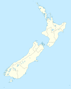
The 3550 km² Mount Aspiring National Park on the South Island of New Zealand was established in 1964 and is characterized by an alpine landscape. In the south it borders on the Fiordland National Park . Together with the Westland , Mount Cook and Fiordland National Park, Mount Aspiring National Park forms the so-called Te Wahipounamu World Heritage Area . The park is named after Mount Aspiring ( 3033 m ), which is known as the “New Zealand Matterhorn ” due to its striking profile . The altitude ranges from approx. 300 m to 3033 m. Since 1990, the area is part of the World Heritage of UNESCO .
Web links
Commons : Mount Aspiring National Park - Collection of Images, Videos, and Audio Files
- Department of Conservation: Mount Aspiring National Park (Engl.)
- Entry on the UNESCO World Heritage Center website ( English and French ).


