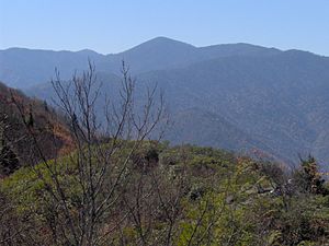
Mount Guyot, North Carolina
| Mount Guyot | ||
|---|---|---|
|
Mount Guyot (center) from Mount Cammerer |
||
| height | 2018 m | |
| location | North Carolina , United States | |
| Mountains | Appalachian Mountains | |
| Coordinates | 35 ° 42 ′ 0 ″ N , 83 ° 15 ′ 0 ″ W | |
|
|
||
Mount Guyot is a 2018 m high mountain in the Appalachian Mountains and part of the Great Smoky Mountains National Park in the US state of North Carolina on the border with Tennessee . It's halfway between Asheville and Knoxville . The mountain was named after the geologist and geographer Arnold Henri Guyot , who made the first exact map of this part of the Appalachian Mountains in the 19th century .

