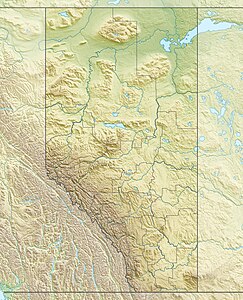
Mount Kitchener, Alberta
| Mount Kitchener | ||
|---|---|---|
| height | 3480 m | |
| location | Alberta (Canada) | |
| Mountains | Canadian Rockies | |
| Dominance | 3.19 km → Snow Dome | |
| Notch height | 180 m ↓ (3300 m) | |
| Coordinates | 52 ° 12 '58 " N , 117 ° 19' 16" W | |
| Topo map | Columbia Icefield 83 C / 3 | |
|
|
||
| First ascent | 1927 by Alfred J. Ostheimer, Hans Fuhrer | |
The Mount Kitchener is a 3480 m (according to other sources 3505 m ) high peak in Jasper National Park in the province of Alberta in Canada . It is located in the Sir Winston Churchill Range , a mountain range of the Canadian Rocky Mountains .
Mount Kitchener is on the northern edge of the Columbia Ice Field .
It was named after Herbert Kitchener , a British politician and officer.
The first ascent took place in 1927 by Alfred J. Ostheimer and the mountain guide Hans Fuhrer.
Web links
- Mount Kitchener at Peakware (English)
- Mount Kitchener, Alberta on Peakbagger.com (English)
Individual evidence
- ↑ a b Mount Kitchener. Peakware, accessed August 10, 2017 .

