Mount Melania
| Mount Melania | ||
|---|---|---|
|
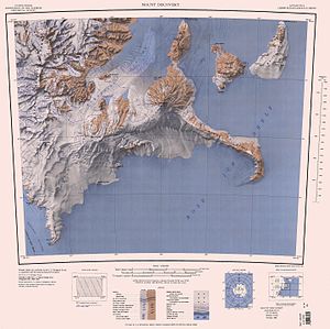
Map of Black Island (middle right) with Mount Melania |
||
| height | 330 m | |
| location | Black Island , Ross Archipelago , Antarctica | |
| Coordinates | 78 ° 7 ′ 0 ″ S , 166 ° 8 ′ 0 ″ E | |
|
|
||
Mount Melania is a 330 m high and rounded hill on the northern end of Black Island in the Antarctic Ross Archipelago .
It was first climbed by the British geologist Hartley Ferrar (1879-1932) and the Australian physicist Louis Bernacchi (1876-1942) on the Discovery Expedition (1901-1904) under the direction of the British polar explorer Robert Falcon Scott . Participants of a 1958 to 1959 campaign as part of the New Zealand Geological Survey Antarctic Expedition made the name. The name of the hill is derived from the Greek μέλας ( transcribed mélas for "black") and thus relates to Black Island.
Web links
- Mount Melania in the Geographic Names Information System of the United States Geological Survey (English)
- Mount Melania on geographic.org (English)

