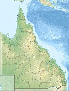
Mount Nicholson, Queensland
| Mount Nicholson | ||
|---|---|---|
| height | 770 m | |
| location | Queensland , Australia | |
| Mountains | Expedition Range | |
| Coordinates | 24 ° 52 '37 " S , 149 ° 2' 26" O | |
|
|
||
The Mount Nicholson is in the southeast of Queensland in Mount Nicholson State Forest in Australia . The mountain, at 770 meters above sea level, is about 93 kilometers from Woorabinda and 105 kilometers from Theodore . It is one of the highest, if not the highest, elevations in the Expedition Range and protrudes over 400 meters from the surrounding plain.
Surname
Mount Nicholson was discovered and named by the Prussian explorer Ludwig Leichhardt on his first expedition to Australia from 1844 to 1845 on November 27, 1844. He named it after Sir Charles Nicholson, who would later become the first speaker of the Legislative Council of Queensland and first Chancellor of the University of Sydney , who had promoted him in Sydney.
reachability
From the Dawson Highway , which is 25 kilometers away, you can drive on unpaved roads to the foot of Mount Nicholson.
Individual evidence
- ↑ Google Relief Map
- ↑ Alec H. Chisholm: Strange New World. The Adventures of John Gilbert and Ludwig Leichhardt. Revised and re-illustrated edition. Angus & Robertson, Sydney et al. 1955, p. 106, (English).
- ↑ Bonzle Digital Atlas of Australia: Mount Nicholson , in English, accessed August 8, 2013
