Mount Parker (Hong Kong)
| Mount Parker 柏 架 山 |
||
|---|---|---|
|
Mount Parker (back) and Taikoo Shing high-rise housing estate (太古城), 2008 |
||
| height | 532 m | |
| location |
|
|
| Coordinates | 22 ° 16 ′ 0 ″ N , 114 ° 13 ′ 0 ″ E | |
|
|
||
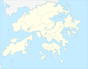
The Mount Parker ( Chinese 柏架山 , Pinyin Bojia Shān , Jyutping Paak 3 ga 3 Saan 1 ), according to the Victoria Peak 532 is the second highest peak meters on Hong Kong Iceland and is located in the Eastern District of Hong Kong . The nine-kilometer “ Mount Parker Road Green Trail ” ( 柏 架 山道 自然 徑 / 柏 架 山道 自然 径 ) runs at the foot of the mountain along Mount Parker Road. The mountain is part of the 1.32 hectare nature reserve " Tai Tam Country Park " ( 大潭 郊野 公園 / 大潭 郊野 公园 ).
In 1903, the Camellia crapnelliana ( 紅皮 糙 果茶 / 红皮 糙 果茶 , hóngpí cāoguǒchá , Jyutping hung 4 pei 4 cou 3 gwo 2 caa 4 ) by WJ Tutcher was found on the mountain . The plant was listed as an endangered plant by the World Conservation Monitoring Center in 1998 . It is on the IUCN Red List of Threatened Species .
Web links
Official Website - Tai Tam Country Park (AFCD) (Chinese, English)
Individual evidence
- ↑ "Camellia crapnelliana (紅皮 糙 果茶 / 红皮 糙 果茶)", Chinese / English: [1] on efloras.org - Flora of China. Retrieved October 10, 2017
- ↑ Camellia crapnelliana in the Kiel Botanical Garden , Christian Albrechts University in Kiel

